The Satellite Earth Observation Market
by Prateek Yadav
Pune, India, October 10, 2021--The satellite-based earth observation satellite industry has evolved significantly in the past decade. Particularly, the supply side has seen novel technologies and new systems being carried into operation. In addition to the impact of cloud, the satellite-based earth observation industry finds itself at the junction of two revolutions, the one of one of commercialization of space and the Big Data coupled with artificial intelligence.
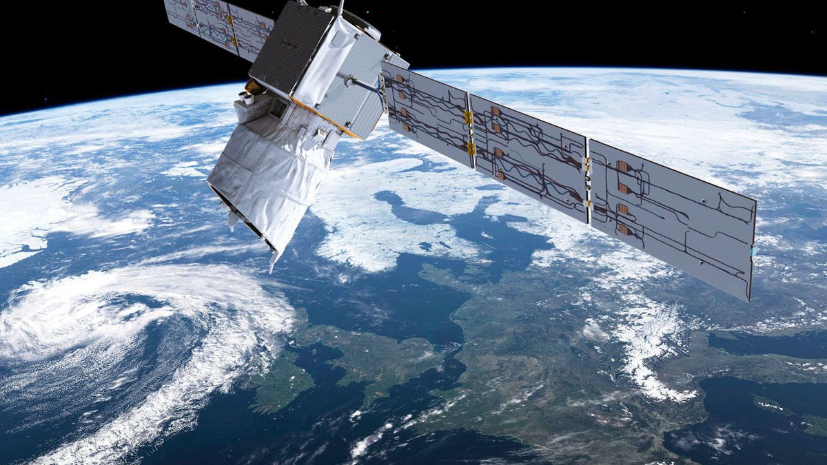 Satellite-based earth observation refers to the use of remote sensing technologies to monitor marine, land, and atmosphere. Satellite-based earth observation depend on the use of satellite-mounted payloads to collected imagery information and data about the Earth’s characteristics. The images are then further processed and analyzed to get variety of information that can assist a very wide array of industries and applications.
According to European Association of Remote Sensing Companies (EARSC), the Earth Observation sector endures to grow at a decent rate of ~10% per year. The demand for satellite-based earth observation and their data is growing, as markets for applications become progressively diversified and providers are able to bring solutions for users who previously would not have been targeted. Two major zones where demand is experiencing speedy growth within emerging economies, where solutions support the growth of a country in many ways, agriculture, including urban expansion, and natural disaster challenges; and in the intelligence community, above all for security and defense. Defence and intelligence is the largest vertical, accounting for ~43% of the market, followed by public authorities, energy/natural resources, services, and then agriculture.
The current advent of economical small satellite technology has helped enable satellite based EO firms to alter their business models, based on the profusion of near real-time, low resolution imagery. As microsatellites become inexpensive to manufacture owing to miniaturization and commercial off-the-self components, new players are disrupting the market by introducing large constellations into orbit. This as a result provides ever-increasing production and access to new data.
Some of the prominent players operating in the satellite-based earth observation market are Maxar Technologies, Planet Labs Inc., L3Harris Technologies, Inc., UrtheCast Corp., ImageSat International N.V., Airbus SE and Others. In past few years, the satellite-based earth observation market has witnessed numerous advances in the forms of product developments, partnerships, and others, which direct strong development of the market and denotes firm growth in the future. For instance, in May 2021, BlackSky Holding, Inc. announced to expand its earth observation satellite with launch of two satellites on Rocket lab’s twentieth mission. Further, the launch of new imagery satellites can consistently increase capacity to deliver first-to-know insight for its customers. Also, in March 2021, BlackSky Holding, Inc. entered into a partnership with ST engineering Geo-Insights, an earth observation and geospatial analysis company to offer expanded satellite imaging solutions and analytics insights portfolio for the customers in Southeast Asia region. In November 2020, European Space Imaging launched 10 new earth observer satellites to expand its satellite imaging portfolio. The expansion of its portfolio is part of its strategy to enhance the data delivery capabilities of the company. Further, these satellites will collect more than 4 million sq. km satellite images per day in very high-resolution imagery.
In addition, location-based services gaining immense popularity. This is due to high-resolution imaging for the creation of highly accurate, and real-time maps. Location-based services help during, rescue events, natural calamities, flood and for weather forecasting to develop forthcoming programs to abridge the situational events which offers lucrative growth opportunities for the satellite-based earth observation market. For Instance, In September 2020, China launched a satellite named as HY-2C to monitor ocean. HY-2C was launched from the Jiuquan Satellite Launch Center in northwest China. HY-2C can provide round-the-clock observation of wind speed & direction, wave height, all-weather, sea surface height, and temperature. Also, in June 2019, around 3 Canadian satellites that signify the next generation of satellite-based earth observation technology were deployed under the Canadian government's project named as RADARSAT Constellation. The images from these satellites are used for a wide range of purposes, including monitoring sea ice, disaster management, and agricultural & forestry management.
Impact of COVID-19 on the satellite-based earth observation market
The COVID-19 crisis led to inimical economic situations in the market across the globe. Governments of different nations imposed stringent lockdowns and momentary closure of manufacturing units that impacted the overall production and sales across all areas. The satellite industry also witnessed a slight downturn in 2020 owing to the COVID-19 crisis. International lockdowns impacted the design, research and development, and manufacturing and launch activities of companies active in the satellite-based earth observation market. Stressed global markets with a great emphasis on undertaking the adverse economic situations, owing to the pandemic are also foreseen to cause uncertainty in demand for a considerable number of years.
The COVID-19 pandemic has also unlocked opportunities for existing satellite operators. The demand for satellite-based earth observation and satellite communication has grown considerably during the pandemic. The operators are using the data collected from their satellites to examine the effect of COVID-19 on the earth’s environment. For instance, Japan Aerospace Exploration Agency (JAXA), National Aeronautics and Space Administration (NASA) and European Space Agency (ESA) announced to document planet-wide changes in the environment and human society, they had joined forces to use the shared scientific power of their satellite-based earth observation data in response to the COVID-19 pandemic.
Download a sample of the the Report (240 Pages PDF with Insights, Charts, Tables, Figures) at:
https://www.alliedmarketresearch.com/request-sample/8130
---------------------------------
For more information on research studies from Allied Market Research go to: www.alliedmarketresearch.com